Every report is built on recognised UK data sources, presented on the map around the subject property with the search radius that matters for each check.
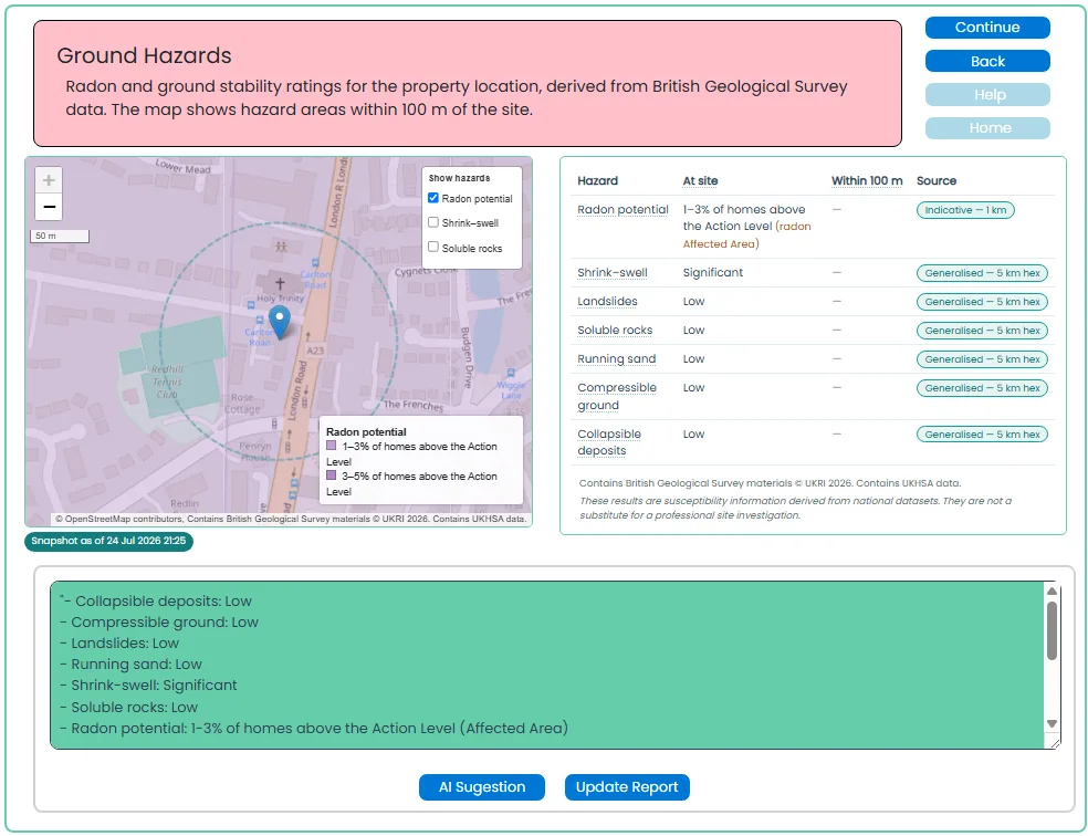
Ground hazards
British Geological Survey — radon, shrink–swell clay, landslide, soluble rocks, running sand, compressible & collapsible ground (100m).
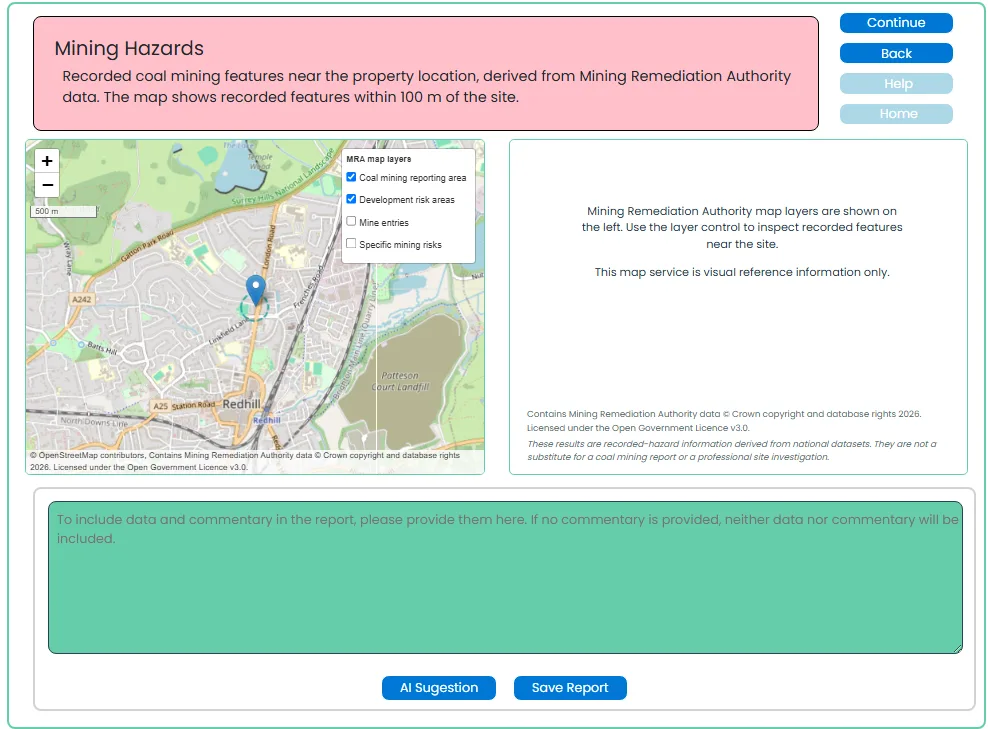
Mining hazards
Mining Remediation Authority — coal mining reporting areas, mine entries and development risk areas (100m).
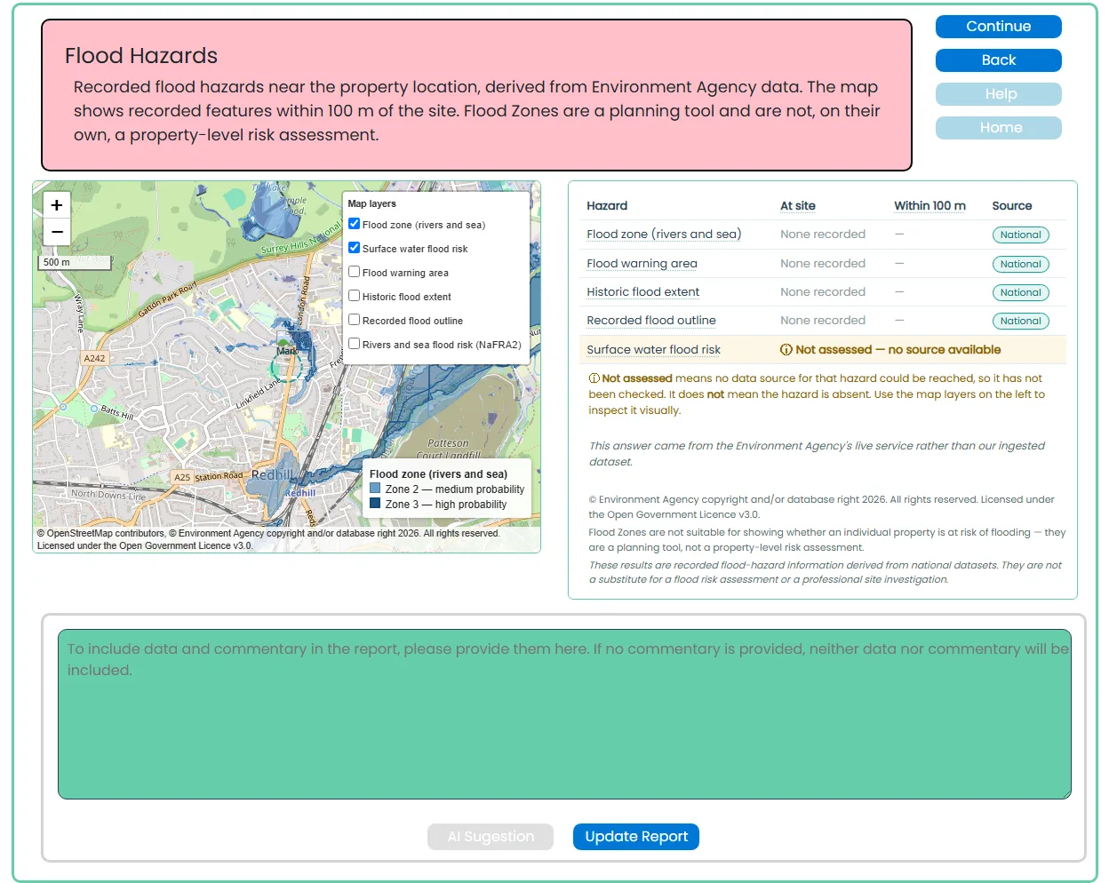
Flood hazards
Environment Agency — flood zones, surface water, warning areas and historic flood extents (100m).
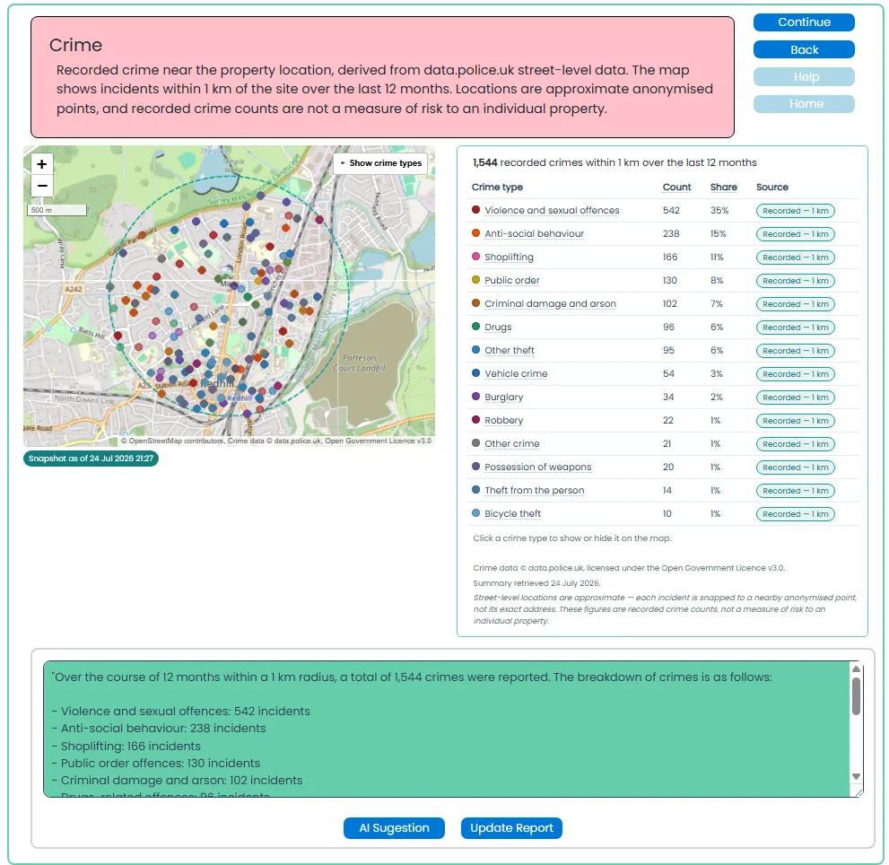
Crime
data.police.uk — recorded street-level crime over the previous 12 months (1km).
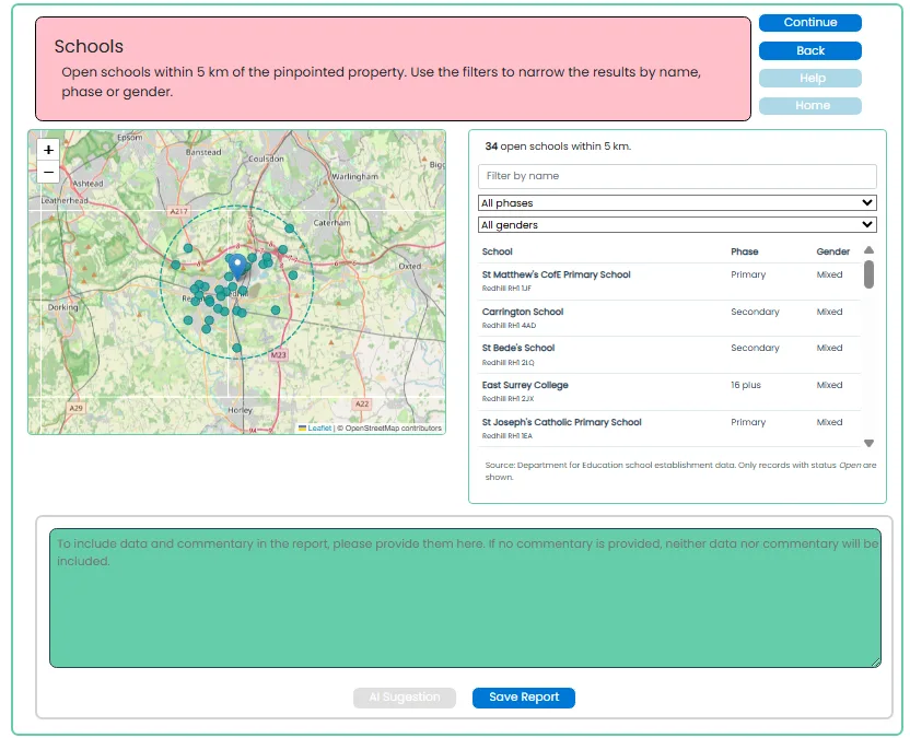
Schools
Department for Education — open schools with phase and gender filters (5km).
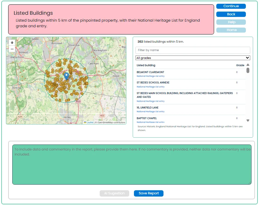
Listed buildings
National Heritage List for England — Grade I, II* and II designations (5km).
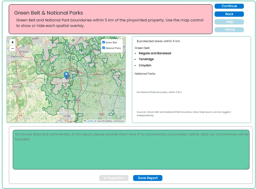
Green belt & national parks
Protected-land boundaries around the property (5km).
Planning
Planning history and recent applications recorded near the property from local authority data.

Registered sales (HMLR)
HM Land Registry price-paid records with a visual price trend.

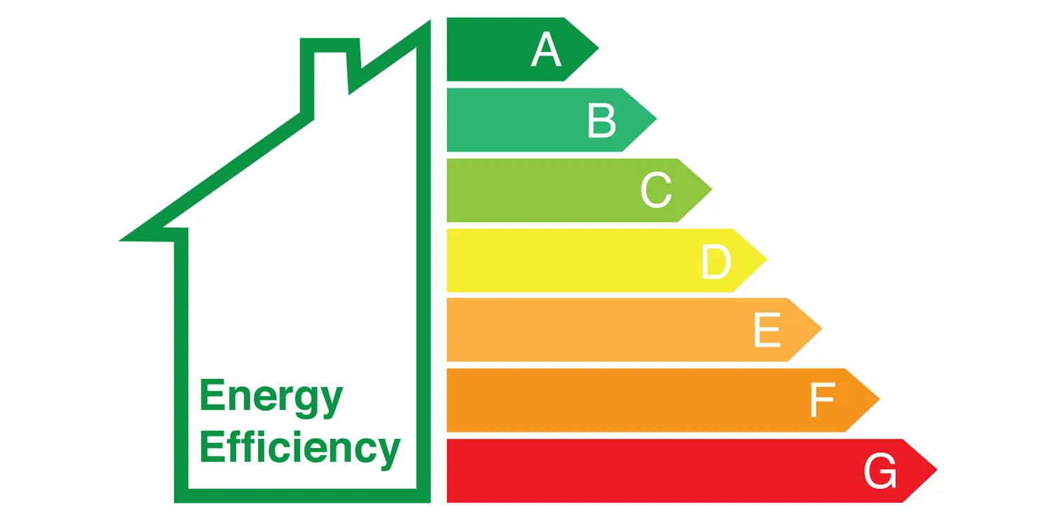
EPC
GOV.UK Energy Performance Certificates — select, review and analyse.
These layers support your desktop research and professional assessment. They are not a substitute for specialist searches or site investigation.